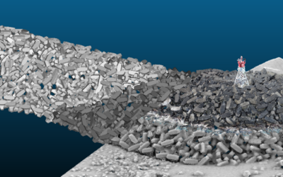
SEABIM® was deployed for the first time in 2019 on the construction of the dikes of the New Coastal Road, carried out by the Bouygues/Vinci consortium. We first modeled from available data (bathymetry, laser and drone photogrammetry) 2.5 kms of ACCROPODE™ II levees, which represents over 21,000 precast concrete elements.
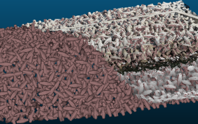
We also performed temporal analyses by updating the 3D model based on new data to observe the evolution of the shells over time following cyclonic swells that occurred during the construction of the structure.
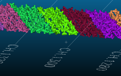
The grouping used this digital twin to facilitate the phase of reception of the work with the project manager and the owner. This model allowed him to prove that some areas considered as problematic by the expert of the project manager were not to be dismantled. In addition, the customer saved on underwater diver inspection costs which were no longer necessary.
In a second phase, we were in charge throughout the year 2022 of carrying out regular bathymetric surveys to control the installation. Data that served as the basis for the regular update of the 3D model.