Services
Seabim placement companion
We have developed a real-time armor block placement monitoring and validation tool, dedicated to maritime construction companies, covering both the emerged and submerged sections of the breakwater.
How it works
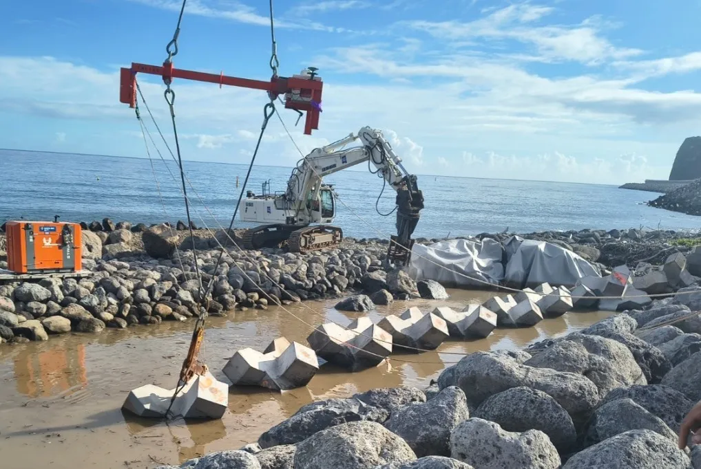
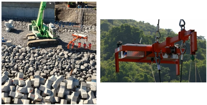
During placement, an above-water LiDAR scanner and a high-frequency scanning sonar underwater continuously acquire a georeferenced point cloud at a high refresh rate (several times per second). For crane-based placement, the centimetric positioning system is installed directly on the lifting spreader bar or hook block, with the scanner offset vertically or laterally to cover the entire block at each pulse.
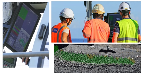
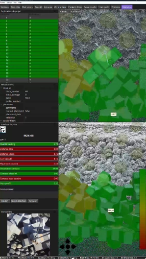
Our SEABIM® Placement Companion software detects the block as soon as it is picked up and updates its position several times per second with a latency of less than 50 ms. As the block approaches its final position according to the theoretical placement plan, interlocking control filters are computed and displayed in real time every second to immediately validate placement quality.
Data is displayed simultaneously to:
- The crane operator inside the cab
- The placement supervisor in an adjacent control cabin
- A live online project management platform accessible to all project stakeholders (designer, project manager, site managers)
This platform provides a real-time view of placement progress and enables information sharing on the structure: block validation status, density calculations, compliance with the placement plan, comments and attached documents.
Once a block is placed, an update scan can be performed to account for any post-slinging movements (settlement, local rearrangement), ensuring the ongoing reliability of the digital model.

Key benefits
With this solution, the as-built 3D model of the armor layer is built block by block in real time, enabling interlocking validation at the moment of placement in accordance with design rules. Maritime contractors can therefore avoid costly removal and reinstallation operations caused by placement defects that would otherwise go undetected.
Unlike embedded inertial sensors, this solution requires no angle sensor to be installed on each individual block, resulting in significant time savings during the placement process. It is also independent of underwater visibility, and the overall point cloud accuracy achieved is better than one decimetre — meaning the 3D model is reliable and precise from the moment of construction, with no need to wait for a post-processing phase.
Post-processing remains available as a complement for updating the digital model after storm events or for milestone progress validation.
Our teams handle the tailored on-site setup of the solution according to your technical constraints, staff training and remote support. We can also provide a dedicated hydrographic specialist for the full duration of the project.